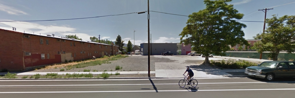
A tentative map has been submitted to the planning department for a 28-unit condominium project on Ralston on a vacant unused lot. The tentative map also includes two commercial spaces on the ground floor as well.
235 Ralston is a mixed-use, urban infill project. It will consist of residential con-do unit ranging in size from 717 square feet to 2,156 square feet. The building's other features include secure ground-level parking, an outdoor recreation area, a second-level terrace and community room, private outdoor balconies for every unit, and the use of energy-efficient construction materials and finishes.
It looks to be five stories tall and designed by Cathexis.
A tentative map is submitted to the City of Reno Planning Department when a developer who owns a large piece of land want to split the land up or divide it somehow. For example, if you own a large multi-acre piece of property out in Spanish Springs and you decide you want to build a sub-division there, you're going to need to split up the property into multiple parcels. A tentative map explains how the project/lot division conforms to zoning, traffic, and parking requirements, as well as sewer system impact, water usage, and any special zoning overlay districts (such as the Downtown Regional Plan.) If the project falls outside of the scope of these requirements, then usual special use permits are required, and the project enters a whole different track. Otherwise, I believe it then goes to the Planning Commission for approval, and ultimately the City Council, but don't quote me on that.
So in this case, because they're condos being built and will be individually owned, the vacant lot this will be built on, will need to be divided.
Also as part of this project, an alley abandonment is being requested.
thanks Mike. What about theose abandonded pads in that 2007 project which is over by the ball park area?